OziCE
Oziexplorer
gps maps
All maps are calibrated and ready to use with gps navigation software such as
Oziexplorer, Oziexplorer CE, SmartComGPS, SmartComNavigator, MapViewGPS, CarMonitor.
*Note) Each program has its own map format, make sure when chosing a map for your device.
if you don't know what exactly you need. contact us by email.
 |
 |
|
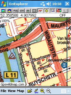
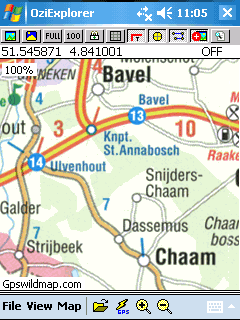
| map of Amsterdam.ozf2 | map of Netherlands.ozf2 |
 |
 |
|
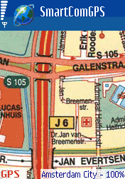
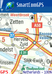
| map of Amsterdam.ogf2 | map of Netherlands.ogf2 |
The Netherlands, on the coast of the North Sea, is situated in western Europe, between Belgium and Germany. Part of the great plain of north and west Europe, the Netherlands has maximum dimensions of 360 by 257 km and is low and flat except in Limburg in the southeast, where some hills rise up to 322 m (1056 ft). About half the country's area is below sea level, making the famous Dutch dikes a requisite for the use of much land. Reclamation of land from the sea through dikes has continued through recent times. All drainage reaches the North Sea, and the principal rivers, Rhine, Maas (Meuse), and Schelde, have their sources outside the country.
The largest cities and their populations are Amsterdam - 750,000; The Hague (administrative capital) - 465,000; Rotterdam - 600,000; Utrecht - 260,000; Eindhoven, 210,000
Amsterdam is the city of antiques, books, diamonds, and curiosities. In general, shop-opening hours are 1-6pm on Mondays and 9/10am-6pm Tuesday to Friday. Most have late night shopping on Thursday until 9pm, and close earlier on Saturdays, at 5pm. Some supermarkets, like Albert Heijn stay open until 8 or 10 pm. On Sundays, you can shop in the city center, Kalverstraat, Damrak, Leidsestraat, and near the Noorderkerk.
Capital is Amsterdam city.
Currency: the euro.
Climate: It has a mild, maritime climate. Summers are generally warm with changeable periods, but excessively hot weather is rare. Winters can be fairly cold with the possibility of some snow. Rainfall is prevalent all year.