OziCE
Oziexplorer
gps maps
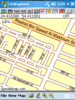
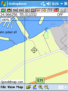
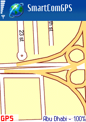
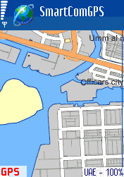
All maps are calibrated and ready to use with gps navigation software such as
Oziexplorer, Oziexplorer CE, SmartComGPS, SmartComNavigator, MapViewGPS, CarMonitor.
*Note) Each program has its own map format, make sure when chosing a map for your device.
if you don't know what exactly you need. contact us by email.
 |
 |
|
| map of Abu Dhabi.ozf2 | map of UAE.ozf2 |
 |
 |
|
| map of Adu Dhabi.ogf2 | map of UAE.ogf2 |
The Persian Gulf coast is marked by salt marshlands (sabkha) merging inland with a barren and infertile desert plain, then to rolling sand dunes of a vast desert wasteland. The emirate of Al Fujairah fronts the Gulf of Oman and contains the only highland area. Less than 0.2% of the land is considered arable.
The seven emirates of Abu Dhabi, Dubai, Ajman, Fujairah, Ras al Khaimah, Sharjah and Umm al-Qaiwain form the United Arab Emirates. Governed by a Supreme Council of Rulers that include the seven sheiks, who are heriditary emirs and absolute monarchs in their own emirates. Top positions are rotated and there are no political parties.
Capital is Abu Dhabi (Abu Zabi).
Currency: Emirian dirham, divided into 100 fils.
Climate: The climate of the UAE generally is hot and dry. The hottest months are July and August, when average maximum temperatures reach above 48° C (118° F) on the coastal plain. In the Al Hajar al Gharbi Mountains, temperatures are considerably cooler, a result of increased altitude. Average minimum temperatures in January and February are between 10°C (50°F) and 14°C (57°F). During the late summer months, a humid southeastern wind known as the sharqi makes the coastal region especially unpleasant. The average annual rainfall in the coastal area is fewer than 120 mm (5 in), but in some mountainous areas annual rainfall often reaches 350 mm (14 in). Rain in the coastal region falls in short, torrential bursts during the summer months, sometimes resulting in floods in ordinarily dry wadi beds. The region is prone to occasional, violent dust storms, which can severely reduce visibility. The Jebel Jais mountain cluster in Ras al Khaimah has experienced snow only twice since records began